
Parc Saint-Vincent topographic map
Interactive map
Click on the map to display elevation.
About this map
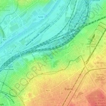
Name: Parc Saint-Vincent topographic map, elevation, terrain.
Location: Parc Saint-Vincent, Evere, Bruxelles-Capitale, 1140, Belgique (50.87958 4.39138 50.88276 4.40265)
Average elevation: 33 m
Minimum elevation: 8 m
Maximum elevation: 68 m