
Checacupe topographic map
Interactive map
Click on the map to display elevation.
About this map
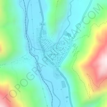
Name: Checacupe topographic map, elevation, terrain.
Location: Checacupe, Canchis, Cuzco, Perú (-14.03299 -71.45801 -14.02004 -71.44915)
Average elevation: 3,575 m
Minimum elevation: 3,411 m
Maximum elevation: 4,001 m
Other topographic maps
Click on a map to view its topography, its elevation and its terrain.
Laguna Sibinacocha
Laguna Sibinacocha, CU-125, Checacupe, Canchis, Cuzco, Perú
Average elevation: 4,926 m