
Kiang Central topographic map
Interactive map
Click on the map to display elevation.
About this map
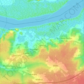
Name: Kiang Central topographic map, elevation, terrain.
Location: Kiang Central, Mansakonko, Division de Lower River, Gambie (13.34818 -15.82718 13.48787 -15.68311)
Average elevation: 16 m
Minimum elevation: -1 m
Maximum elevation: 44 m