
Linge topographic map
Interactive map
Click on the map to display elevation.
About this map
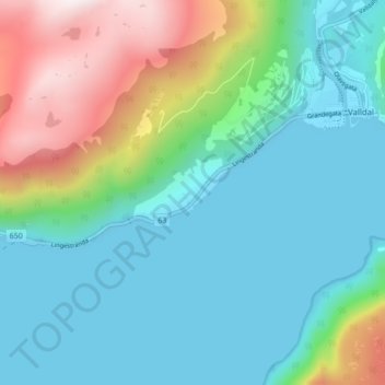
Name: Linge topographic map, elevation, terrain.
Location: Linge, Fjord, Møre og Romsdal, 6214, Norvège (62.26960 7.20468 62.30960 7.24468)
Average elevation: 248 m
Minimum elevation: -8 m
Maximum elevation: 983 m