
Chil topographic map
Interactive map
Click on the map to display elevation.
About this map
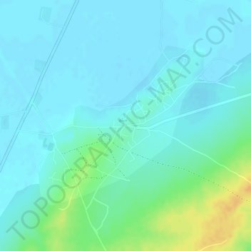
Name: Chil topographic map, elevation, terrain.
Location: Chil, Sind, Pakistán (25.14325 69.66764 25.16050 69.68731)
Average elevation: 19 m
Minimum elevation: 9 m
Maximum elevation: 43 m