Geolocate

Fountain topographic map

Click on the map to display elevation.

About this map

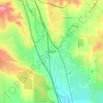
Name: Fountain topographic map, elevation, terrain.

Location: Fountain, El Paso County, Colorado, 8017, United States (38.64222 -104.74081 38.72222 -104.66081)

Average elevation: 1,714 m

Minimum elevation: 1,656 m

Maximum elevation: 1,803 m

Gear up for your next adventure:

🧰Emergency Multi-Tool - Compact multi-tool for outdoor survival
🛏️Sleeping Bag - Warm and compact sleeping bags for outdoor camping
🥘Camping Cookware Set - Compact nesting pots and pans for trail cooking
🗺️Topographic Maps - Detailed maps to explore trails, mountains, and wilderness areas
🚲Handlebar Phone Mount - View topographic-map.com live while cycling

As an Amazon Associate, this site earns from qualifying purchases at no extra cost to you.