Geolocate

Manson topographic map

Click on the map to display elevation.

About this map

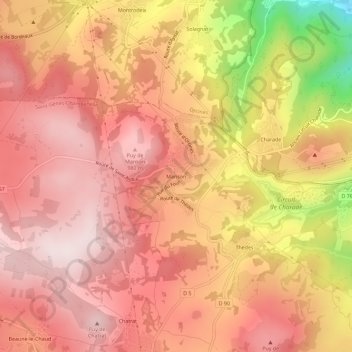
Name: Manson topographic map, elevation, terrain.

Location: Manson, Saint-Genès-Champanelle, Clermont-Ferrand, Puy-de-Dôme, Auvergne-Rhône-Alpes, France métropolitaine, 63122, France (45.72513 2.99343 45.76513 3.03343)

Average elevation: 874 m

Minimum elevation: 544 m

Maximum elevation: 1,023 m

Other topographic maps

Click on a map to view its topography, its elevation and its terrain.

Gear up for your next adventure:

💡Portable Camping Lamp - Rechargeable lamp for campsite lighting
🧥Softshell Hiking Jacket - The perfect balance of wind protection and breathability
🧥Softshell Jacket - Windproof and breathable jacket for hiking
Camping Essentials - All-in-one gear for a comfortable camping trip
🧦Thermal Socks - Warm socks for winter hiking or camping

As an Amazon Associate, this site earns from qualifying purchases at no extra cost to you.