
Thank you for supporting this site ❤️
Make a donation
Make a donation
Gear up for your next adventure:
As an Amazon Associate, this site earns from qualifying purchases at no extra cost to you.
Sebdou topographic map
Click on the map to display elevation.
Thank you for supporting this site ❤️
Make a donation
Make a donation
Gear up for your next adventure:
As an Amazon Associate, this site earns from qualifying purchases at no extra cost to you.
About this map
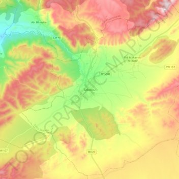
Name: Sebdou topographic map, elevation, terrain.
Location: Sebdou, Sebdou District, Tilimsen, Algeria (34.54643 -1.41172 34.73432 -1.17464)
Average elevation: 1,083 m
Minimum elevation: 686 m
Maximum elevation: 1,518 m
Thank you for supporting this site ❤️
Make a donation
Make a donation
Gear up for your next adventure:
As an Amazon Associate, this site earns from qualifying purchases at no extra cost to you.