Geolocate

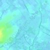
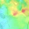
Couturelle topographic map

Click on the map to display elevation.

About this map

Name: Couturelle topographic map, elevation, terrain.

Location: Couturelle, Arras, Pas-de-Calais, Hauts-de-France, Metropolitan France, 62158, France (50.19899 2.48571 50.21531 2.51391)

Average elevation: 162 m

Minimum elevation: 128 m

Maximum elevation: 176 m

Other topographic maps

Click on a map to view its topography, its elevation and its terrain.

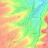
Panehem

France > Hauts-de-France > Pas-de-Calais > Samer

Average elevation: 70 m

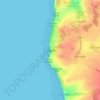
Le Petit Vimy

France > Hauts-de-France > Pas-de-Calais > Vimy

Average elevation: 93 m

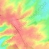
Noyelles

France > Hauts-de-France > Pas-de-Calais > Bours

Average elevation: 125 m

Gear up for your next adventure:

👟Sport Hiking Sandals - Breathable footwear for water crossings and camp rest
🛌Down Sleeping Bag - Superior warmth-to-weight ratio for cold nights
🦶Anti-Blister Balm - Prevents friction and hotspots during long ascents
👖Convertible Hiking Pants - Zip-off legs to adapt to changing weather conditions
🧴Waterproofing Spray - Restore the DWR coating on jackets and tents

As an Amazon Associate, this site earns from qualifying purchases at no extra cost to you.