Geolocate

Glesch topographic map

Click on the map to display elevation.

About this map
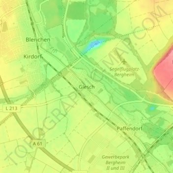
Name: Glesch topographic map, elevation, terrain.

Location: Glesch, Bergheim, Rhein-Erft-Kreis, North Rhine-Westphalia, 50126, Germany (50.95243 6.57307 50.99243 6.61307)

Average elevation: 68 m

Minimum elevation: 29 m

Maximum elevation: 108 m

Other topographic maps

Click on a map to view its topography, its elevation and its terrain.
Gear up for your next adventure:

🛌Down Sleeping Bag - Superior warmth-to-weight ratio for cold nights
🛏️Sleeping Bag - Warm and compact sleeping bags for outdoor camping
🥾Durable Hiking Shoes - Long-lasting shoes for frequent hiking
🧭Orienteering Kit - Tools for map reading and navigation in the wild
🧴Bear Spray Holster - Quick-access carry for essential Canadian wilderness safety

As an Amazon Associate, this site earns from qualifying purchases at no extra cost to you.