

Cappadocia topographic map
Click on the map to display elevation.
Cappadocia
Cappadocia lies in central Anatolia, in the heartland of what is now Turkey. The relief consists of a high plateau over 1,000 m in altitude that is pierced by volcanic peaks, with Mount Erciyes (ancient Argaeus) near Kayseri (ancient Caesarea) being the tallest at 3,916 m. The boundaries of historical Cappadocia are vague, particularly towards the west.
About this map
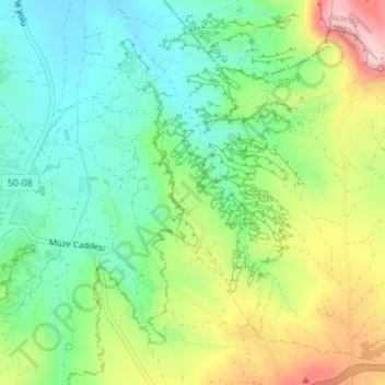
Name: Cappadocia topographic map, elevation, terrain.
Average elevation: 1,306 m
Minimum elevation: 540 m
Maximum elevation: 3,830 m
Other topographic maps
Click on a map to view its topography, its elevation and its terrain.
