Geolocate

Hapatbut topographic map

Click on the map to display elevation.

About this map
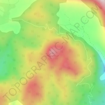
Name: Hapatbut topographic map, elevation, terrain.

Location: Hapatbut, Sopore, Baramulla, Jammu and Kashmir, India (34.40253 74.48437 34.40263 74.48447)

Average elevation: 2,163 m

Minimum elevation: 1,932 m

Maximum elevation: 2,410 m

Gear up for your next adventure:

🧤Thermal Hiking Gloves - Grip-enhanced gloves for cold-weather altitude trekking
🎒Hiking Backpack - Lightweight and ergonomic backpacks for day hikes or multi-day treks
💡LED Headlamp - Hands-free illumination for night hiking and camping
⛺Tent Footprint - Protect tent floor and increase durability
🛶Canoe Life Vest - Safety vest for water sports

As an Amazon Associate, this site earns from qualifying purchases at no extra cost to you.