

Mutilva topographic map
Click on the map to display elevation.
Mutilva
La localidad se encuentra situada en la parte más occidental del valle de Aranguren el cual a su vez se encuentra ubicado en la parte central de la Comunidad Foral de Navarra dentro de la Cuenca de Pamplona. La altitud del núcleo de población es de 442 m s. n. m..
About this map
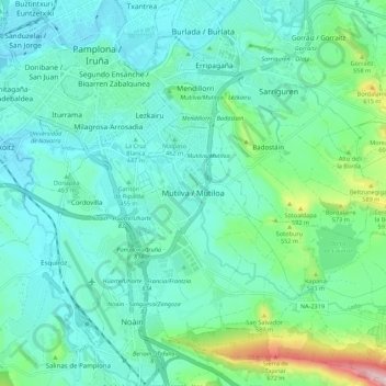
Name: Mutilva topographic map, elevation, terrain.
Location: Mutilva, Aranguren, Área Metropolitana, Navarra, 31016, España (42.74947 -1.65687 42.82947 -1.57687)
Average elevation: 470 m
Minimum elevation: 408 m
Maximum elevation: 734 m