
Berkley topographic map
Click on the map to display elevation.
About this map
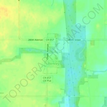
Name: Berkley topographic map, elevation, terrain.
Location: Berkley, Boone County, Iowa, United States (41.94150 -94.11758 41.95161 -94.11018)
Average elevation: 301 m
Minimum elevation: 288 m
Maximum elevation: 312 m
Other topographic maps
Click on a map to view its topography, its elevation and its terrain.