Geolocate

Bexley topographic map

Click on the map to display elevation.

About this map

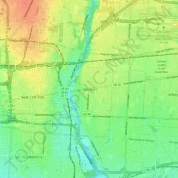
Name: Bexley topographic map, elevation, terrain.

Location: Bexley, Franklin County, Ohio, 43209, United States (39.92924 -82.97686 40.00924 -82.89686)

Average elevation: 243 m

Minimum elevation: 224 m

Maximum elevation: 265 m

Gear up for your next adventure:

🥾Mountain Trail Shoes - High-traction shoes for mountain trails
🍽️Titanium Camping Spork - Ultralight and indestructible eating utensil
🧼Biodegradable Camp Soap - Environmentally friendly cleaning for gear and body
❄️Traction Ice Cleats - Slip-on spikes for icy trails and winter hiking
🧥Waterproof Jacket - Lightweight rain jackets for hiking and outdoor activities

As an Amazon Associate, this site earns from qualifying purchases at no extra cost to you.