
Acora topographic map
Click on the map to display elevation.
Acora
Ácora es una localidad peruana capital del distrito homónimo ubicado en la provincia de Puno en el departamento de Puno. Se encuentra a una altitud de 3848 m s.n.m. Tenía 22 961 hab. según el censo de 2017. Está ubicada a 33km de la ciudad de Puno.
About this map
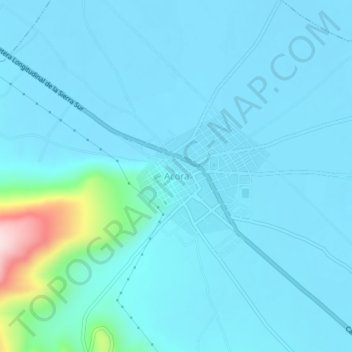
Name: Acora topographic map, elevation, terrain.
Location: Acora, Ácora, Puno, Perú (-15.99359 -69.81757 -15.95359 -69.77757)
Average elevation: 3,851 m
Minimum elevation: 3,817 m
Maximum elevation: 4,167 m