
Gargarat topographic map
Interactive map
Click on the map to display elevation.
About this map
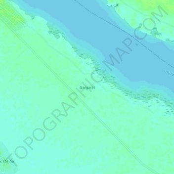
Name: Gargarat topographic map, elevation, terrain.
Location: Gargarat, Ad Douiem, Nil Blanc, Soudan (13.76333 32.41333 13.80333 32.45333)
Average elevation: 383 m
Minimum elevation: 380 m
Maximum elevation: 388 m