
Kernville topographic map
Click on the map to display elevation.
Kernville
Kernville is a census-designated place (CDP) in the southern Sierra Nevada, in Kern County, California, United States. Kernville is located 42 miles (68 km) northeast of Bakersfield, at an elevation of 2,667 feet (813 m). The population was 1,549 at the 2020 United States census, up from 1,395 at the 2010 census, but below the 2000 census total of 1,736.
About this map
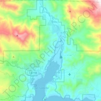
Name: Kernville topographic map, elevation, terrain.
Location: Kernville, Kern County, California, 93238, United States (35.67364 -118.46604 35.79250 -118.40277)
Average elevation: 1,135 m
Minimum elevation: 779 m
Maximum elevation: 2,244 m