
Homosassa topographic map
Click on the map to display elevation.
About this map
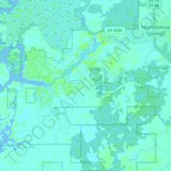
Name: Homosassa topographic map, elevation, terrain.
Location: Homosassa, Citrus County, Florida, 34448, United States (28.75923 -82.64124 28.80562 -82.56649)
Average elevation: 3 m
Minimum elevation: -1 m
Maximum elevation: 11 m
Other topographic maps
Click on a map to view its topography, its elevation and its terrain.