
Başhüyük topographic map
Interactive map
Click on the map to display elevation.
About this map
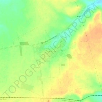
Name: Başhüyük topographic map, elevation, terrain.
Location: Başhüyük, Sarayönü, Kotajk, Zentralanatolien, Türkei (38.25543 32.45953 38.29543 32.49953)
Average elevation: 1,071 m
Minimum elevation: 1,050 m
Maximum elevation: 1,085 m