
O"Kean topographic map
Interactive map
Click on the map to display elevation.
About this map
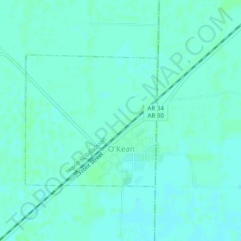
Name: O"Kean topographic map, elevation, terrain.
Location: O"Kean, Randolph County, Arkansas, 72425, United States (36.16413 -90.82751 36.17891 -90.80904)
Average elevation: 82 m
Minimum elevation: 79 m
Maximum elevation: 85 m