Geolocate

Maidipally topographic map

Click on the map to display elevation.

About this map

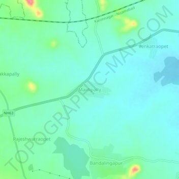
Name: Maidipally topographic map, elevation, terrain.

Location: Maidipally, Metpalli mandal, Jagtial, Telangana, India (18.81641 78.57189 18.85641 78.61189)

Average elevation: 323 m

Minimum elevation: 304 m

Maximum elevation: 392 m

Gear up for your next adventure:

🧰Multitool Knife - Compact and versatile tool for outdoor use
Camping Coffee Maker - Brew fresh coffee anywhere on the topographic map
🛰️Satellite Messenger - Emergency communication for areas with no cell service
🩹Moleskin Blister Pads - Direct protection for painful foot pressure points
🥫Freeze-Dried Meals - Lightweight, high-calorie nutrition for multi-day treks

As an Amazon Associate, this site earns from qualifying purchases at no extra cost to you.