Geolocate

Jaduguda topographic map

Click on the map to display elevation.

About this map

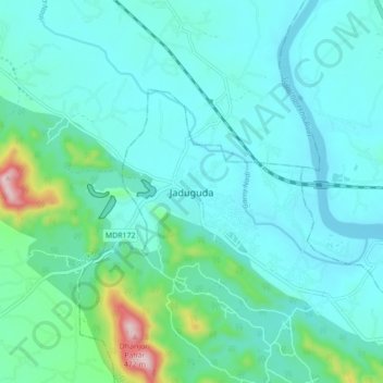
Name: Jaduguda topographic map, elevation, terrain.

Location: Jaduguda, Musabani, East Singhbhum, Jharkhand, 832102, India (22.61563 86.30995 22.69563 86.38995)

Average elevation: 148 m

Minimum elevation: 85 m

Maximum elevation: 493 m

Gear up for your next adventure:

🧴Bear Spray Holster - Quick-access carry for essential Canadian wilderness safety
🌬️Windproof Camp Stove - Efficient cooking even on exposed mountain peaks
🛁Quick-Dry Microfiber Towel - Space-saving towel that dries rapidly on the move
🥾Lightweight Hiking Shoes - Comfortable shoes for day hikes
🛶Kayak Accessories - Essential gear for safe and fun kayaking adventures

As an Amazon Associate, this site earns from qualifying purchases at no extra cost to you.