Geolocate

Inwood topographic map

Click on the map to display elevation.

About this map

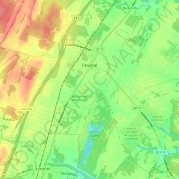
Name: Inwood topographic map, elevation, terrain.

Location: Inwood, Berkeley County, West Virginia, United States (39.33764 -78.08216 39.36677 -78.02825)

Average elevation: 176 m

Minimum elevation: 135 m

Maximum elevation: 217 m

Gear up for your next adventure:

🦶Anti-Blister Balm - Prevents friction and hotspots during long ascents
🔦LED Headtorch - Bright and durable light for night activities
🪜Heavy Duty Carabiners - Multi-use clips for securing gear to your backpack
🧊Insulated Water Bottle - Keeps drinks cold in summer and prevents freezing in winter
🧦Thermal Socks - Warm socks for winter hiking or camping

As an Amazon Associate, this site earns from qualifying purchases at no extra cost to you.