Geolocate

Canda Ibaba topographic map

Click on the map to display elevation.

About this map

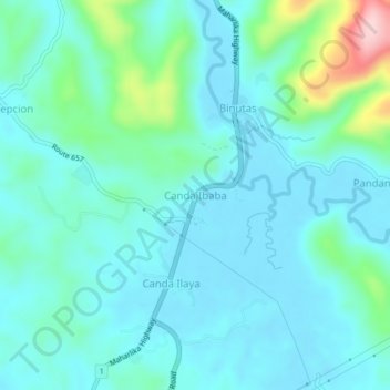
Name: Canda Ibaba topographic map, elevation, terrain.

Location: Canda Ibaba, Lopez, Quezon, Calabarzon, 4316, Philippines (13.89484 122.26358 13.93484 122.30358)

Average elevation: 40 m

Minimum elevation: -1 m

Maximum elevation: 228 m

Gear up for your next adventure:

🥾Waterproof Hiking Shoes - Durable shoes for wet and rugged trails
🛁Quick-Dry Microfiber Towel - Space-saving towel that dries rapidly on the move
🥾Mountain Hiking Shoes - Shoes with superior grip for mountainous terrain
🎒Hiking Daypack - Lightweight and durable backpacks for day trips and excursions
🧥Ultralight Puffy Jacket - Maximum warmth that packs down to the size of an orange

As an Amazon Associate, this site earns from qualifying purchases at no extra cost to you.