Geolocate

Bagafa topographic map

Click on the map to display elevation.

About this map

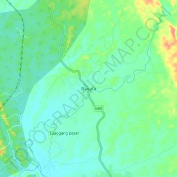
Name: Bagafa topographic map, elevation, terrain.

Location: Bagafa, Bokafa, South Tripura District, Tripura, 799144, India (23.26868 91.52527 23.34868 91.60527)

Average elevation: 35 m

Minimum elevation: 16 m

Maximum elevation: 93 m

Gear up for your next adventure:

🧥Thermal Fleece Jacket - Versatile insulation for changing mountain temperatures
🩹Compact First Aid Kit - Pre-packed essentials for common trail injuries
🥾Trekking Boots - Durable boots for long-distance trekking
🦟Insect Repellent - Keep mosquitoes and black flies away in wooded areas
🏃Hydration Running Vest - Carry water and maps close to your body for speed

As an Amazon Associate, this site earns from qualifying purchases at no extra cost to you.