Geolocate

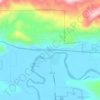
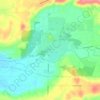
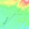
Toledo topographic map

Click on the map to display elevation.

About this map
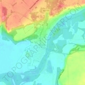
Name: Toledo topographic map, elevation, terrain.

Location: Toledo, Lewis County, Washington, United States (46.43233 -122.85724 46.44933 -122.84193)

Average elevation: 49 m

Minimum elevation: 21 m

Maximum elevation: 103 m

Other topographic maps

Click on a map to view its topography, its elevation and its terrain.
Cinebar

United States > Washington > Lewis County

Average elevation: 308 m

Randle

United States > Washington > Lewis County

Average elevation: 378 m

The Rockies

United States > Washington > Lewis County

Average elevation: 1,012 m

Silver Falls

United States > Washington > Lewis County

Average elevation: 847 m

Angry Mountain

United States > Washington > Lewis County

Average elevation: 1,401 m

Onalaska

United States > Washington > Lewis County

Average elevation: 170 m

Packwood

United States > Washington > Lewis County

Average elevation: 379 m

Adna

United States > Washington > Lewis County

Average elevation: 82 m

Mayfield

United States > Washington > Lewis County

Average elevation: 223 m

Bunker

United States > Washington > Lewis County

Average elevation: 101 m

Randle

United States > Washington > Lewis County

Average elevation: 378 m

Ceres

United States > Washington > Lewis County

Average elevation: 123 m

Glenoma

United States > Washington > Lewis County

Average elevation: 354 m

Gear up for your next adventure:

🥾Trail Hiking Socks - Comfortable socks to prevent blisters and fatigue
🥾Hiking Shorts - Breathable shorts suitable for summer hikes
🧭GPS Outdoor Watch - Smart watch for navigation and fitness tracking in nature
🔦LED Flashlight - Powerful and long-lasting flashlight for camping and emergencies
🪑Insulated Seat Pad - Protect your seat from cold rocks and wet logs

As an Amazon Associate, this site earns from qualifying purchases at no extra cost to you.