Geolocate

South Riding topographic map

Click on the map to display elevation.

About this map

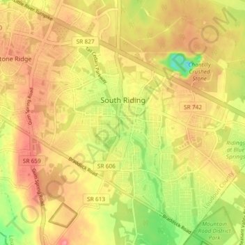
Name: South Riding topographic map, elevation, terrain.

Location: South Riding, Loudoun County, Virginia, 20152, United States (38.88715 -77.54589 38.93800 -77.47325)

Average elevation: 96 m

Minimum elevation: 43 m

Maximum elevation: 133 m

Gear up for your next adventure:

🌡️Emergency Mylar Blankets - Compact thermal protection for unexpected nights outdoors
🥾Trekking Poles - Adjustable trekking poles to reduce knee stress and improve stability
🦯Trekking Poles - Reduced impact on joints for steep topographic climbs
🥾Mountaineering Boots - Supportive boots for climbing and high-altitude hiking
🥾Hiking Boots - Sturdy boots providing ankle support and traction on rugged trails

As an Amazon Associate, this site earns from qualifying purchases at no extra cost to you.