Geolocate

La Paz topographic map

Click on the map to display elevation.

About this map

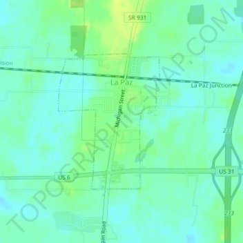
Name: La Paz topographic map, elevation, terrain.

Location: La Paz, Marshall County, Indiana, 46537, United States (41.44786 -86.31770 41.46294 -86.30270)

Average elevation: 261 m

Minimum elevation: 255 m

Maximum elevation: 271 m

Other topographic maps

Click on a map to view its topography, its elevation and its terrain.

Harris

United States > Indiana > Marshall County

Average elevation: 255 m

Gear up for your next adventure:

🛶Waterproof Dry Bags - Keep electronics and clothes dry during river crossings
🔦LED Headtorch - Bright and durable light for night activities
🧼Biodegradable Camp Soap - Environmentally friendly cleaning for gear and body
🌡️Emergency Mylar Blankets - Compact thermal protection for unexpected nights outdoors
🥘Camping Cookware Set - Compact nesting pots and pans for trail cooking

As an Amazon Associate, this site earns from qualifying purchases at no extra cost to you.