Geolocate

Berció topographic map

Click on the map to display elevation.

About this map

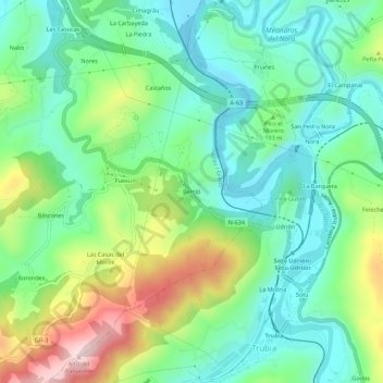
Name: Berció topographic map, elevation, terrain.

Location: Berció, Grado, Asturias, 33825, España (43.34289 -5.99954 43.38289 -5.95954)

Average elevation: 173 m

Minimum elevation: 59 m

Maximum elevation: 421 m

Other topographic maps

Click on a map to view its topography, its elevation and its terrain.

Rio Sama

España > Asturias > Grado

Average elevation: 234 m

Gear up for your next adventure:

🧭GPS Tracker - Track your location in remote areas safely
🥽Outdoor Goggles - Protective eyewear for outdoor activities
🧦Merino Wool Socks - Moisture-wicking comfort for long-distance hiking
Lightweight Camping Tent - Portable shelter optimized for Canadian backcountry camping
🧦Hiking Socks - Moisture-wicking and comfortable socks for long hikes

As an Amazon Associate, this site earns from qualifying purchases at no extra cost to you.