Geolocate

Poor Mountain topographic map

Click on the map to display elevation.

About this map

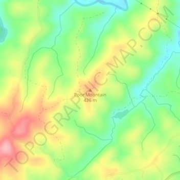
Name: Poor Mountain topographic map, elevation, terrain.

Location: Poor Mountain, Patrick County, Virginia, United States (36.82453 -80.14926 36.82463 -80.14916)

Average elevation: 373 m

Minimum elevation: 311 m

Maximum elevation: 448 m

Gear up for your next adventure:

🦯Trekking Poles - Reduced impact on joints for steep topographic climbs
🦌Outdoor Trail Camera - Monitor wildlife activity near your favorite spots
🥾Light Trekking Boots - Supportive boots for multi-day treks
🧥Softshell Hiking Jacket - The perfect balance of wind protection and breathability
🛏️Sleeping Bag - Warm and compact sleeping bags for outdoor camping

As an Amazon Associate, this site earns from qualifying purchases at no extra cost to you.