
Xincheng topographic map
Interactive map
Click on the map to display elevation.
About this map
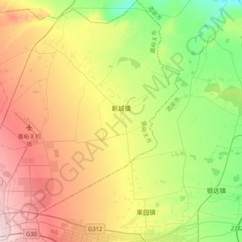
Name: Xincheng topographic map, elevation, terrain.
Location: Xincheng, 郊区, Jiayuguan, Gansu, China (39.75240 98.26910 39.97103 98.52008)
Average elevation: 1,481 m
Minimum elevation: 1,358 m
Maximum elevation: 1,647 m
Other topographic maps
Click on a map to view its topography, its elevation and its terrain.