
Make a donation
Gear up for your next adventure:
As an Amazon Associate, this site earns from qualifying purchases at no extra cost to you.
Ribault River topographic map
Click on the map to display elevation.
Make a donation
Gear up for your next adventure:
As an Amazon Associate, this site earns from qualifying purchases at no extra cost to you.
Ribault River
Ribault River is a tributary of the Trout River. It is located entirely in Jacksonville, Florida. The river is named after Jean Ribault, a French naval officer. The river's headwaters are near Old Kings Road at an elevation of 7 feet (2.1 m) above sea level. The river cuts through the forest floor near its source, that portion of the river being classified as a creek. The river flows northward, as does the St. Johns River and many of the other tributaries of the Trout River. The river is 6.4 miles (10.3 km) long.
Make a donation
Gear up for your next adventure:
As an Amazon Associate, this site earns from qualifying purchases at no extra cost to you.
About this map
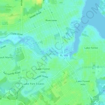
Name: Ribault River topographic map, elevation, terrain.
Average elevation: 7 m
Minimum elevation: -2 m
Maximum elevation: 18 m
Make a donation
Gear up for your next adventure:
As an Amazon Associate, this site earns from qualifying purchases at no extra cost to you.