
Thank you for supporting this site ❤️
Make a donation
Make a donation
Gear up for your next adventure:
As an Amazon Associate, this site earns from qualifying purchases at no extra cost to you.
Puketeraki topographic map
Click on the map to display elevation.
Thank you for supporting this site ❤️
Make a donation
Make a donation
Gear up for your next adventure:
As an Amazon Associate, this site earns from qualifying purchases at no extra cost to you.
About this map
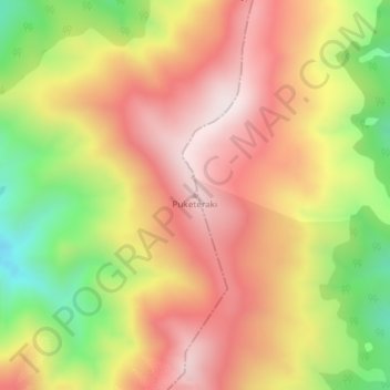
Name: Puketeraki topographic map, elevation, terrain.
Location: Puketeraki, Selwyn District, Canterbury, New Zealand (-43.03533 172.09351 -43.03523 172.09361)
Average elevation: 1,369 m
Minimum elevation: 1,010 m
Maximum elevation: 1,643 m
Thank you for supporting this site ❤️
Make a donation
Make a donation
Gear up for your next adventure:
As an Amazon Associate, this site earns from qualifying purchases at no extra cost to you.