Geolocate

Peelstraat topographic map

Click on the map to display elevation.

About this map

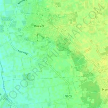
Name: Peelstraat topographic map, elevation, terrain.

Location: Peelstraat, Boekel, Noord-Brabant, Nederland, 5427 GK, Nederland (51.57256 5.66159 51.61256 5.70159)

Average elevation: 18 m

Minimum elevation: 10 m

Maximum elevation: 24 m

Gear up for your next adventure:

🧴Outdoor Sunscreen - High SPF protection for high-altitude UV exposure
🚲MTB Frame Bag - Carry tools and maps directly on your bicycle frame
🧴Bear Spray Holster - Quick-access carry for essential Canadian wilderness safety
🛏️Camping Sleeping Mat - Comfortable mats for sleeping outdoors
🔋Lithium AA Batteries - Long-lasting power that performs in extreme cold

As an Amazon Associate, this site earns from qualifying purchases at no extra cost to you.