
Geer topographic map
Interactive map
Click on the map to display elevation.
About this map
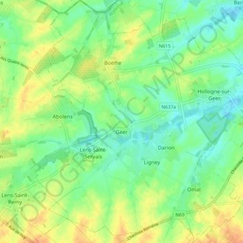
Name: Geer topographic map, elevation, terrain.
Location: Geer, Borgworm, Luik, Wallonië, 4250, België (50.64335 5.13995 50.69832 5.22691)
Average elevation: 135 m
Minimum elevation: 119 m
Maximum elevation: 155 m