Geolocate

Cuaming topographic map

Click on the map to display elevation.

About this map

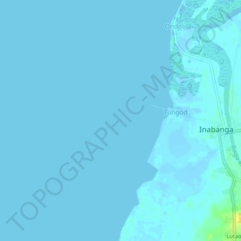
Name: Cuaming topographic map, elevation, terrain.

Location: Cuaming, Inabanga, Bohol, Central Visayas, Philippines (10.09316 123.96867 10.13316 124.00867)

Average elevation: 0 m

Minimum elevation: 0 m

Maximum elevation: 0 m

Gear up for your next adventure:

🔪Outdoor Multitool - Versatile tool for repairs and food prep in the wild
🥾Waterproof Hiking Shoes - Durable shoes for wet and rugged trails
🔭Outdoor Binoculars - Lightweight binoculars for birdwatching and hiking
🥾Waterproof Trail Shoes - Shoes designed to handle wet terrain
🥾Trail Hiking Socks - Comfortable socks to prevent blisters and fatigue

As an Amazon Associate, this site earns from qualifying purchases at no extra cost to you.