Geolocate

Laguarta topographic map

Click on the map to display elevation.

About this map

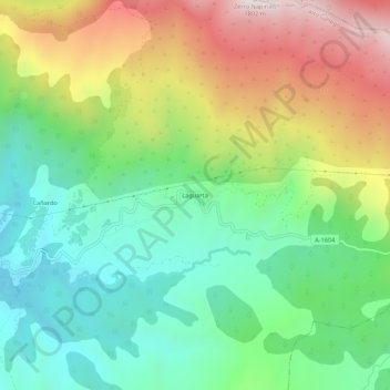
Name: Laguarta topographic map, elevation, terrain.

Location: Laguarta, Sabiñánigo, Alto Gállego, Huesca, Aragón, España (42.39376 -0.13898 42.43376 -0.09898)

Average elevation: 1,265 m

Minimum elevation: 951 m

Maximum elevation: 1,784 m

Gear up for your next adventure:

🥾Mountain Hiking Boots - High-traction boots for rocky terrain
🦟Insect Repellent - Keep mosquitoes and black flies away in wooded areas
🎒Hiking Daypack - Lightweight and durable backpacks for day trips and excursions
🔨Vehicle Emergency Tool - Safety tool for remote road trips to trailheads
🧢Outdoor Cap - Protective cap for sun and rain during hikes

As an Amazon Associate, this site earns from qualifying purchases at no extra cost to you.