Geolocate

MacRae topographic map

Click on the map to display elevation.

About this map

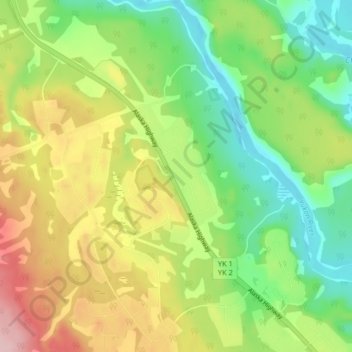
Name: MacRae topographic map, elevation, terrain.

Location: MacRae, Whitehorse, Yukon, Y1A 5S8, Canada (60.61781 -135.02088 60.65781 -134.98088)

Average elevation: 729 m

Minimum elevation: 652 m

Maximum elevation: 838 m

Gear up for your next adventure:

🧦Hiking Liner Socks - Thin base layer to prevent friction and blisters
🧢Beanie Hat - Keep your head warm in cold weather
🧥Fleece Jacket - Warm and lightweight jacket for layering
🔦UV Flashlight - Detect minerals or specific insects in the dark
🔭Compact Binoculars - Lightweight optics for scouting trails and wildlife

As an Amazon Associate, this site earns from qualifying purchases at no extra cost to you.