Geolocate

Edendale topographic map

Click on the map to display elevation.

About this map

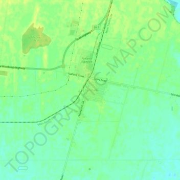
Name: Edendale topographic map, elevation, terrain.

Location: Edendale, Waihopai Toetoe Community, Southland District, Southland, New Zealand (-46.33441 168.76510 -46.29441 168.80510)

Average elevation: 41 m

Minimum elevation: 32 m

Maximum elevation: 50 m

Other topographic maps

Click on a map to view its topography, its elevation and its terrain.

Gear up for your next adventure:

🥾Trail Hiking Shoes - Durable shoes designed for rugged trails
🛶Kayak Dry Bag - Waterproof storage for kayaking adventures
🥤Collapsible Travel Cup - Saves space and weight in your mess kit
🥾Hiking Gaiters - Protect legs and shoes from mud, snow, and debris
🩹Compact First Aid Kit - Pre-packed essentials for common trail injuries

As an Amazon Associate, this site earns from qualifying purchases at no extra cost to you.