Geolocate

Candiac topographic map

Click on the map to display elevation.

About this map

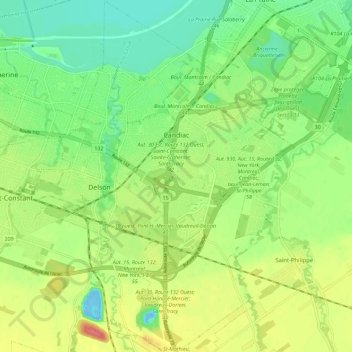
Name: Candiac topographic map, elevation, terrain.

Location: Candiac, Roussillon, Montérégie, Quebec, Canada (45.33739 -73.54004 45.41726 -73.47852)

Average elevation: 26 m

Minimum elevation: -14 m

Maximum elevation: 63 m

Roussillon trails, hiking, mountain biking, running and outdoor activities

Gear up for your next adventure:

🥾Light Hiking Boots - Lightweight and comfortable boots for day hikes
🧥Softshell Jacket - Windproof and breathable jacket for hiking
🧼Biodegradable Camp Soap - Environmentally friendly cleaning for gear and body
🧥Waterproof Jacket - Lightweight rain jackets for hiking and outdoor activities
🧴Insect Repellent - Protect yourself from bugs during outdoor adventures

As an Amazon Associate, this site earns from qualifying purchases at no extra cost to you.