Geolocate

Vahan topographic map

Click on the map to display elevation.

About this map

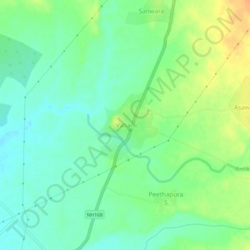
Name: Vahan topographic map, elevation, terrain.

Location: Vahan, Reodar Tehsil, Sirohi, Rajasthan, India (24.68631 72.66407 24.72631 72.70407)

Average elevation: 296 m

Minimum elevation: 282 m

Maximum elevation: 318 m

Gear up for your next adventure:

💧Hydration Bladder - Hands-free hydration solution for long treks
🛏️Sleeping Bag - Warm and compact sleeping bags for outdoor camping
🥾Trail Running Boots - Durable shoes designed for trail running
🧴Outdoor Sunscreen - High SPF protection for high-altitude UV exposure
💡Portable Camping Lamp - Rechargeable lamp for campsite lighting

As an Amazon Associate, this site earns from qualifying purchases at no extra cost to you.