Geolocate

Harris topographic map

Click on the map to display elevation.

About this map

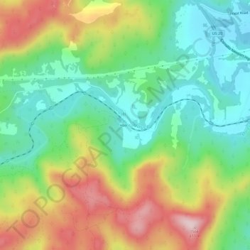
Name: Harris topographic map, elevation, terrain.

Location: Harris, Benton County, Oregon, United States (44.55818 -123.48010 44.59818 -123.44010)

Average elevation: 257 m

Minimum elevation: 124 m

Maximum elevation: 465 m

Gear up for your next adventure:

🛏️Sleeping Bag - Warm and compact sleeping bags for outdoor camping
🧼Biodegradable Camp Soap - Environmentally friendly cleaning for gear and body
🛌Insulated Sleeping Pad - Critical thermal barrier between you and the cold ground
❄️Traction Ice Cleats - Slip-on spikes for icy trails and winter hiking
🚲Handlebar Phone Mount - View topographic-map.com live while cycling

As an Amazon Associate, this site earns from qualifying purchases at no extra cost to you.