Geolocate

Maartensdijk topographic map

Click on the map to display elevation.

About this map

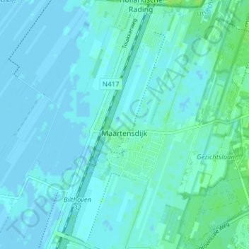
Name: Maartensdijk topographic map, elevation, terrain.

Location: Maartensdijk, De Bilt, Utrecht, Netherlands (52.14487 5.14398 52.17416 5.20705)

Average elevation: 2 m

Minimum elevation: -2 m

Maximum elevation: 8 m

Gear up for your next adventure:

🥾Mountaineering Boots - Supportive boots for climbing and high-altitude hiking
💡LED Camping Lantern - Illuminate your campsite with long-lasting lanterns
Tent Footprint - Protect tent floor and increase durability
🧴First Aid Kit - Essential first aid supplies for outdoor emergencies
🥤Collapsible Travel Cup - Saves space and weight in your mess kit

As an Amazon Associate, this site earns from qualifying purchases at no extra cost to you.