Geolocate

Tham topographic map

Click on the map to display elevation.

About this map

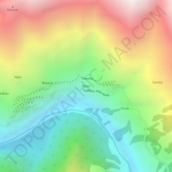
Name: Tham topographic map, elevation, terrain.

Location: Tham, Atholi (Paddar), Kishtwar, Jammu and Kashmir, India (33.14452 76.26597 33.18452 76.30597)

Average elevation: 2,870 m

Minimum elevation: 1,957 m

Maximum elevation: 4,217 m

Gear up for your next adventure:

🏃Hydration Running Vest - Carry water and maps close to your body for speed
🦶Hiking Shoe Insoles - Added support for high arches and long days on feet
🔦UV Flashlight - Detect minerals or specific insects in the dark
Lightweight Backpacking Tent - Compact tent for efficient hiking trips
🛏️Camping Sleeping Mat - Comfortable mats for sleeping outdoors

As an Amazon Associate, this site earns from qualifying purchases at no extra cost to you.