Geolocate

Priesa topographic map

Click on the map to display elevation.

About this map

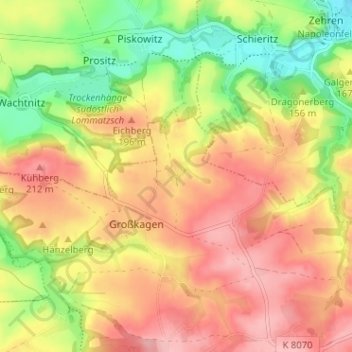
Name: Priesa topographic map, elevation, terrain.

Location: Priesa, Großkagen, Käbschütztal, Meißen, Sachsen, Deutschland (51.16137 13.35727 51.20137 13.39727)

Average elevation: 166 m

Minimum elevation: 96 m

Maximum elevation: 222 m

Gear up for your next adventure:

🎒Hiking Daypack - Lightweight and durable backpacks for day trips and excursions
🥤Collapsible Travel Cup - Saves space and weight in your mess kit
🥾Hiking Leggings - Comfortable leggings for outdoor activities
🧴First Aid Kit - Essential first aid supplies for outdoor emergencies
🧭Orienteering Kit - Tools for map reading and navigation in the wild

As an Amazon Associate, this site earns from qualifying purchases at no extra cost to you.