Geolocate

Decatur topographic map

Click on the map to display elevation.

About this map

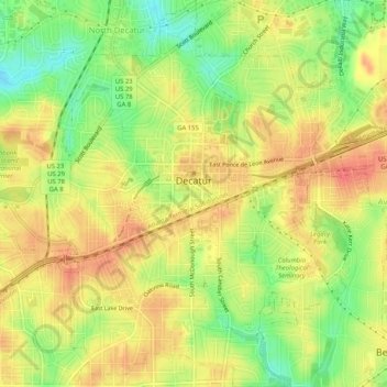
Name: Decatur topographic map, elevation, terrain.

Location: Decatur, DeKalb County, Georgia, 30030, United States (33.75097 -84.31577 33.79365 -84.27583)

Average elevation: 308 m

Minimum elevation: 275 m

Maximum elevation: 332 m

Gear up for your next adventure:

🥾Trail Hiking Socks - Comfortable socks to prevent blisters and fatigue
🪑Insulated Seat Pad - Protect your seat from cold rocks and wet logs
💧Hydration Pack - Hands-free hydration system for long hikes
📷Outdoor Action Camera - Capture high-elevation views and rugged adventures
🦟Insect Repellent - Keep mosquitoes and black flies away in wooded areas

As an Amazon Associate, this site earns from qualifying purchases at no extra cost to you.