Geolocate

Concrete topographic map

Click on the map to display elevation.

Concrete

Mears Field (3W5), formerly known as Concrete Municipal Airport, is located one mile south of Concrete at an elevation of 267 ft MSL.

Wikipedia (CC-BY-SA 3.0)

About this map

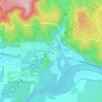
Name: Concrete topographic map, elevation, terrain.

Location: Concrete, Skagit County, Washington, United States (48.52555 -121.76620 48.55064 -121.73391)

Average elevation: 125 m

Minimum elevation: 42 m

Maximum elevation: 341 m

Gear up for your next adventure:

🛏️Sleeping Bag - Warm and compact sleeping bags for outdoor camping
🧭GPS Tracker - Track your location in remote areas safely
🥾Hiking Boots - Sturdy boots providing ankle support and traction on rugged trails
🥾Waterproof Hiking Boots - Essential footwear for rugged terrain and wet Canadian trails
💡Portable Camping Lamp - Rechargeable lamp for campsite lighting

As an Amazon Associate, this site earns from qualifying purchases at no extra cost to you.