Geolocate

Godhra topographic map

Click on the map to display elevation.

About this map

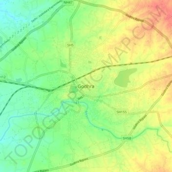
Name: Godhra topographic map, elevation, terrain.

Location: Godhra, Godhra Taluka, Panchmahal, Gujarat, 389001, India (22.61850 73.46452 22.93850 73.78452)

Average elevation: 132 m

Minimum elevation: 66 m

Maximum elevation: 244 m

Gear up for your next adventure:

🥾Approach Boots - Comfortable boots for hiking and climbing approaches
🧦Merino Wool Socks - Moisture-wicking comfort for long-distance hiking
🧢Outdoor Cap - Protective cap for sun and rain during hikes
🧥Waterproof Pants - Keep dry during rainy hiking conditions
🧥Insulated Jacket - Keep warm in cold outdoor conditions

As an Amazon Associate, this site earns from qualifying purchases at no extra cost to you.