
Whitney Estates topographic map
Click on the map to display elevation.
About this map
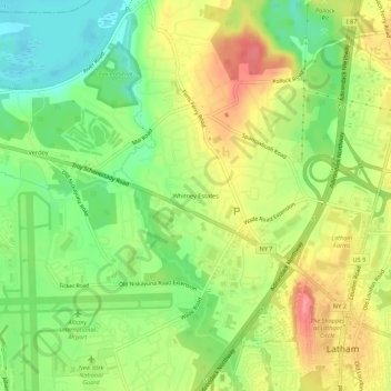
Name: Whitney Estates topographic map, elevation, terrain.
Average elevation: 88 m
Minimum elevation: 50 m
Maximum elevation: 131 m
Other topographic maps
Click on a map to view its topography, its elevation and its terrain.
Village of Green Island
United States > New York > Albany County > Town of Colonie
Average elevation: 19 m
Siena College
United States > New York > Albany County > Town of Colonie > Newtonville
Average elevation: 98 m